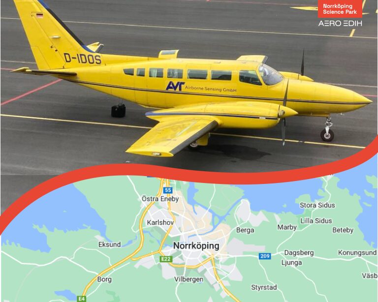
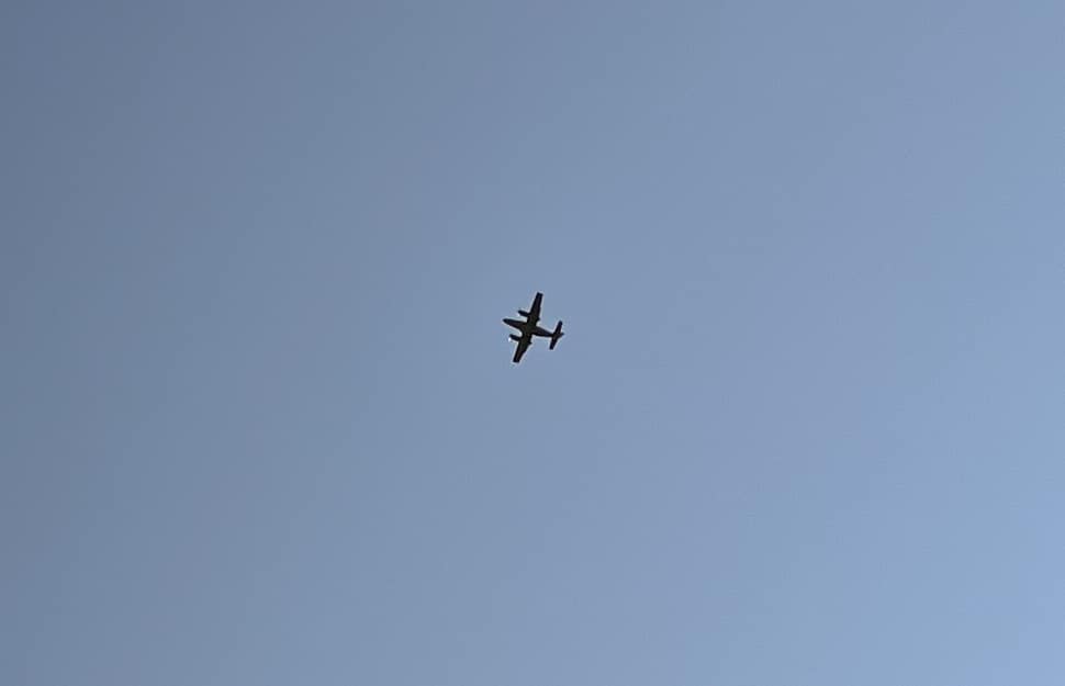
On July 15, 2024, a large-scale hyperspectral data collection was conducted over Norrköping. The flight, which was originally planned to be conducted in 2023 but was postponed due to unfavorable weather conditions, marks a significant step for Norrköping. The data collection gathered detailed data over central Norrköping and marks an important step forward for urban planning.
Hyperspectral imaging technology revolutionizes data collection and urban planning
Hyperspectral imaging collects a wide light spectrum at each image point which means that each point gets its own spectral signature of absorption and reflection from the photographed object. The spectral signature is unique for different substances which means that you can classify the photographed object in the image as, for example, a building, vegetation, or water. The hyperspectral image data will be used in Visual Sweden’s project Visual Sweden City platform. The project has an AI model that can build up a 3D representation of a city based on different data sources, for instance traditional aerial and satellite images but also ground based data collection solutions. The purpose of the project is partly to evaluate how well different data sources perform given a specific demand of precision in the model and to propose cost efficient solutions. The hyperspectral data will be used to validate, train, and improve the AI model. The automation used when building up the digital twin has the potential to enable city planners to follow the city’s development over time.
Access to digital representations of cities gives urban planners unique opportunities to visualize and understand the state of the city, for instance as air pollution, and optimize land use. The digital twin could also help identify areas at risk of flooding, analyze vegetation health, or provide better insights into energy use by different buildings. The digital representation also enables simulation of both 2D-and 3D-logistics flows across the cities which is of interest also for logistics companies and drone service providers within the municipality of Norrköping as well as Norrköping Airport who intend to utilize the data to speed up the development of Advanced Air Mobility-solutions (AAM) and investigate airspace constructions / U-space (UTM) within their controlled airspace. (https://www.norrkopingairport.se/framtidens-flygplats)
Aero EDIH’s crucial role
The data collection was conducted as part of a service package from Aero EDIH and reinforces Visual Sweden’s City Platform project by adding additional data layers. As part of the EU’s commitment to digital innovation, Aero EDIH works to support projects that promote smart and sustainable solutions. Data collection helps position Norrköping at the forefront of development of Advanced Air Mobility (AAM) -, airspace – and U-space-solutions not only in Sweden but also internationally.
The importance of collaboration
Several actors have collaborated to drive innovation and create new opportunities for future urban planning. Through collaboration, the actors have gathered around a common vision of developing Norrköping into a more sustainable and digitally advanced city.
Norrköping Municipality, which is the recipient of the service, plans to use the collected data to improve urban planning through the digital twin, for example, climate adaptation, environmental protection, and energy management. (https://norrkoping.se/)
Visual Sweden and Visualization Center C through their platform Visual City play a key role in their ongoing project to use the collected hyperspectral data when creating a future tool for urban planning. (https://visualiseringscenter.se/research-program/visual-city-platform/)
